Marys Peak
Willamette Valley, OR
Description
Marys Peak is the tallest peak in the Oregon Coast Range. It has a rich history and is sacred to the Kalapuya people, the original inhabitants of the Willamette Valley. The existing trails in the area are not adaptive bike friendly….unless you are down for some Type Two fun. However, the road to the summit is wide open, offering amazing views, and there are a couple gravel routes, making it well worth the effort. In the coming years, we hope to build approximately 25 miles of new trail across the highway to the south. They will be universally built and exciting for riders of all types.
Staging
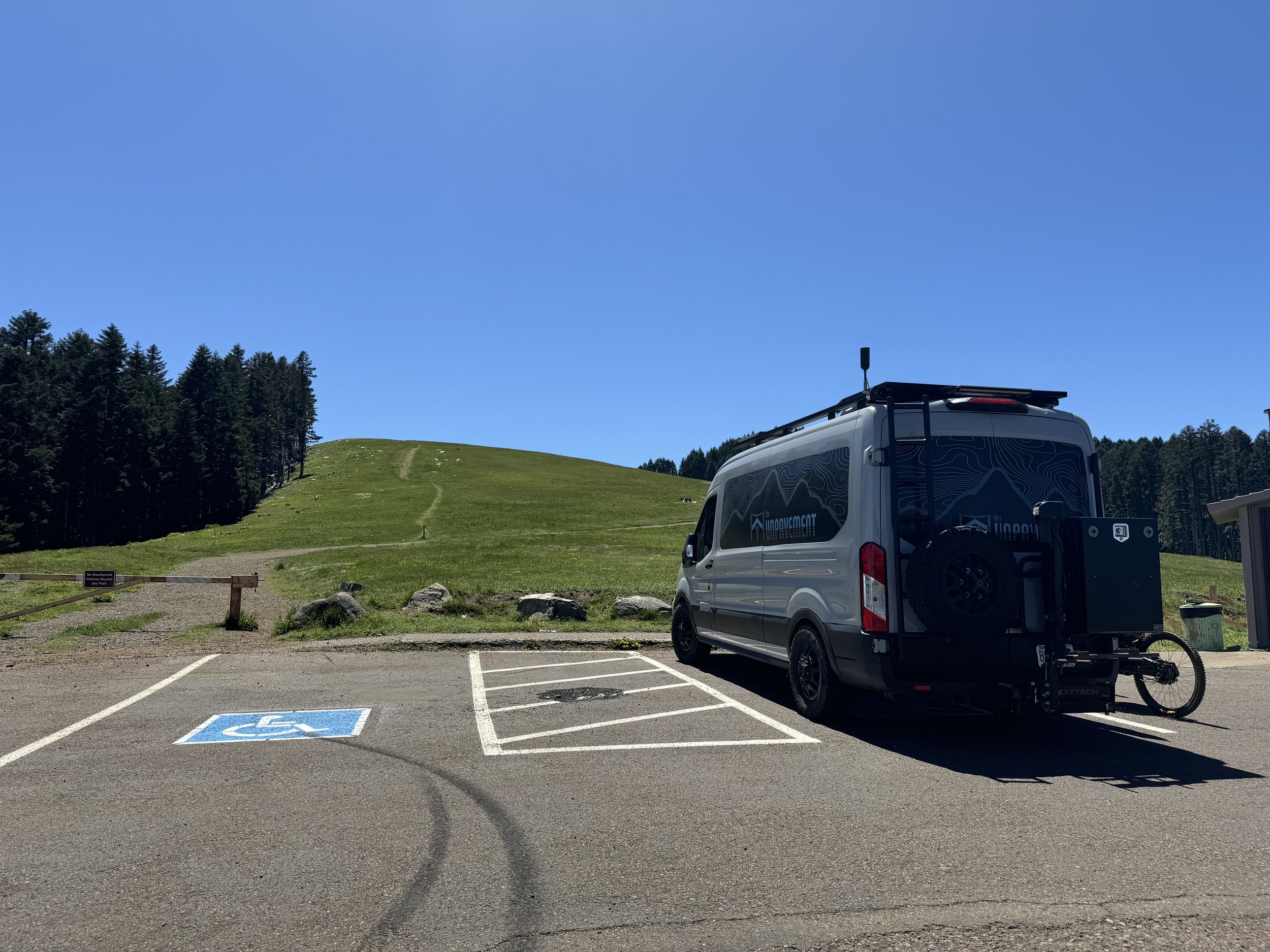
There are two parking lots: one at the summit and one to access the gravel routes below. Both are paved, mostly flat, with accessible primitive vault toilets.
Summit Lot
East Ridge Trailhead Lot
Ample parking at at the summit lot
No running water but accessible
Recommended Routes
Trails
Northridge (not suitable) - Just read the description on TrailForks. “Old school bench cut”. It’s not the big root lines that stopped me. That’s no problem. It’s the narrow, exposed, off-camber with a drop off.
Eastridge (not suitable) - I started to ride this trail and quickly turned around. Narrow, exposed, off-camber
Forest 2005 Rd (aMTB1) - Access via the road. Connector from parking lot is not suitable for adaptive. All wide open fire road with some awesome views. An out and back on this road is one of the recommended routes below.
Summit Road (aMTB1) - The rocks blocking motor traffic make the main entry too narrow, but there are options through some of the other rocks and from the main trail area sign. Beware hiker traffic. Amazing views at thew top!


